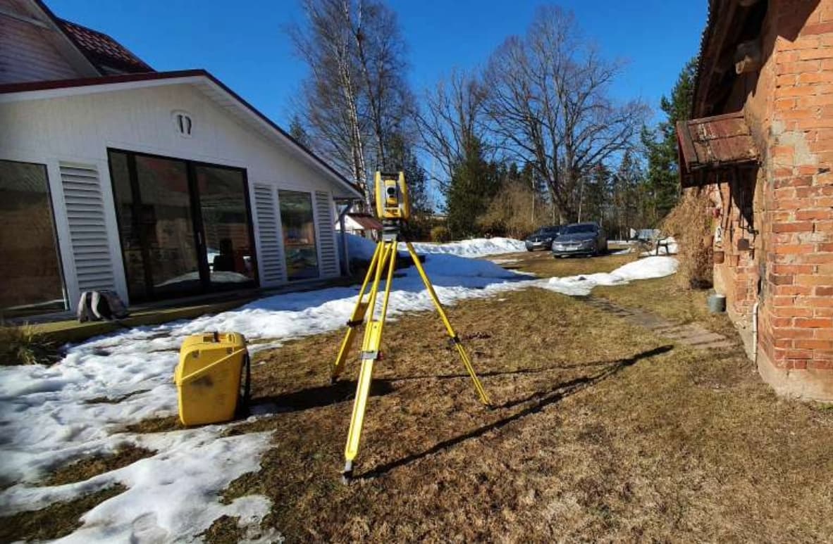
A geodetic base plan, also known as a topo-geodetic survey, serves as the fundamental starting point for construction activities. Surveys conducted to create geodetic base plans are referred to as topo-geodetic surveys.
A geodetic base plan is essential for obtaining the necessary data for land area planning or the development of a construction project. It serves as the foundation for the work of architects and designers, which is why a geodetic base plan should be prepared by qualified surveyors.
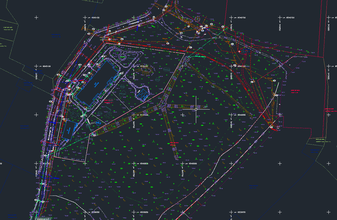
Topo-geodetic surveys provide essential data for land area planning, construction project development, and building. This results in a large-scale geodetic base plan (referred to as a geo-base) depicting the above-ground situation (buildings, landscaping, infrastructure, etc.) as well as underground cables and utility networks (electric, communication, water, sewage lines, etc.).
All underground facilities are always coordinated with the respective utility owners. Additionally, we perform technical surveys for wells as needed.
The geo-base is typically created in a 1:500 scale, but can be adjusted to another scale upon request.
Sirkel & Mall Geodesy's topo-geodetic surveys and geodetic base plans adhere to the requirements set by the regulation "Requirements for Topo-Geodetic Surveys and As-Built Surveying." For our work, we use the coordinate system valid in the Republic of Estonia.
The timeframe for creating a geodetic base plan depends on the complexity of the existing situation and the size of the surveyed area.