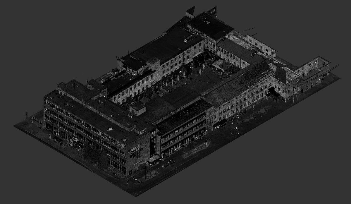
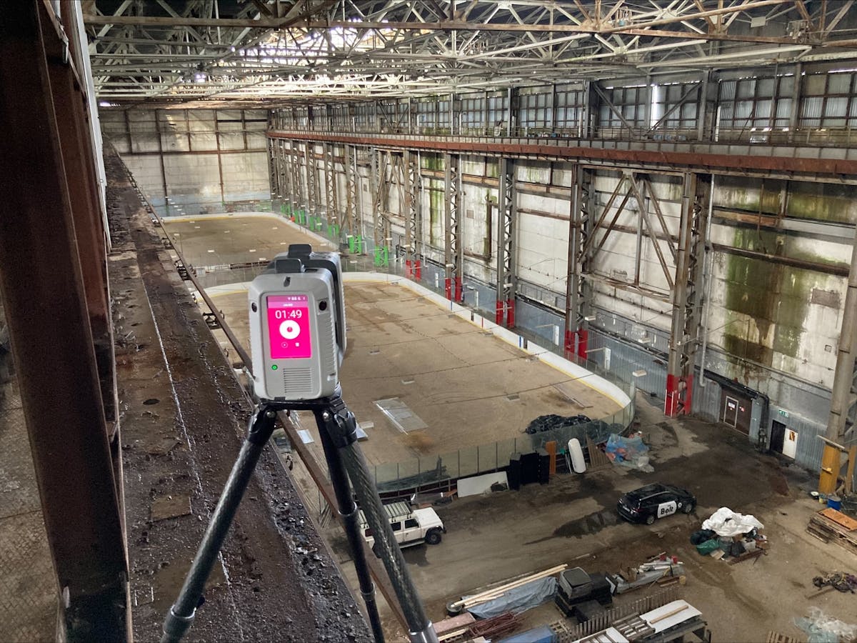
Laser scanning is the fastest and most cost-effective way to collect precise 3D spatial data. When measuring an object, it generates a three-dimensional data set with millimeter precision, known as a point cloud. We use the state-of-the-art Leica RTC360 3D laser scanner for measurements.
As a result of the measurement, you will receive a point cloud file, which can be viewed using the Leica Jetstream Viewer program.
With the help of the program, it's possible to take measurements from inaccessible areas and navigate within a digital replica of the object. Additionally, the point cloud can be used in various design software (such as ArchiCAD, Revit, Tekla, etc.).
Upon request, we can further generate 2D drawings, sections, and views, as well as a 3D model from the point cloud. If needed, we can clean and process the point cloud and align it with the coordinate system.